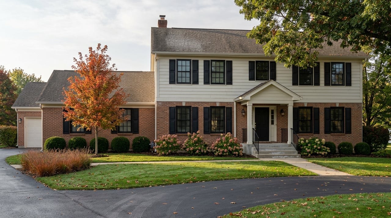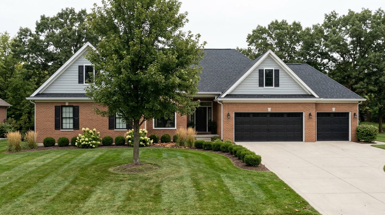
Drive through the Wyndstone subdivision on Duello Road and nothing tells you a nature park is coming. Rooflines, mailboxes, a cul-de-sac curve, then a small parking lot appears next to a restroom building, and that restroom is the trailhead marker. No arch, no carved sign with the city seal, just a gravel lot and a trail map bolted near the bathroom door. First-time visitors tend to double back and check they're in the right place. They are.
That understated entrance says something true about Lake St. Louis. The city's identity runs on water: two private lakes, Lake St. Louis and Lake St. Louise, managed by the Lake St. Louis Community Association, where boating, tubing, and sunset cruises belong to members and their guests. If you don't own on the lake or know someone who does, that water is scenery, not access. Deer Ridge Park works the opposite way. It's 35 acres, it's free, it's open to anyone who can find the parking lot, and a meaningful share of the city's own residents have never walked it.
Two Lakes You Can Look At, One Park You Can Walk
This isn't a knock on the lakes. Private amenities are part of what people choose Lake St. Louis for, and the arrangement has held for decades. But it means the city's most photographed feature is also its least accessible one. Deer Ridge Park sits on the other end of that spectrum. The City of Lake Saint Louis owns and maintains it as one of five parks in its system, and it's the only one built specifically as a nature trail park rather than a ball field, playground, or event lawn.
That distinction matters more than it sounds. Founders Park has six baseball and softball fields and stays busy with league games spring through fall. Boulevard Park hosts the summer concert series and movie nights. Both are genuinely good public space, but both are programmed, built for groups and events. Deer Ridge Park is built for the opposite instinct: the fifteen-minute walk before work, the dog that needs a real loop instead of a block around the neighborhood, the hour alone with a creek and no schedule.
Where the Trail Actually Splits
The park has 2.5 miles of unpaved trail, natural surface, dirt, mulch, and rock rather than pavement, and four named sections that don't all deliver the same experience. Whitetail Way runs along Peruque Creek at the bottom of the wetland basin. It's flat, shaded, and the closest thing the park has to an easy stroll.
Cross the creek, though, and you're committed. Fawn Pass, Doe Run, and Antler Ridge sit on the far side, looping through the wooded hills with real elevation change, enough that AllTrails lists 137 feet of gain across the full loop. Once you're over the water, there's no shortcut back except to keep walking or retrace your steps. It's not a hard hike by any measure that would impress a Colorado transplant, but it's not the same walk as Whitetail Way, and treating the whole park as one interchangeable loop is how people end up surprised by the hills forty minutes in.
If you only have twenty minutes, stay on Whitetail Way and skip the crossing. If you want the full 2.2 to 2.5 mile version, budget closer to an hour and expect your ankles to notice the uneven surface by the end. Either way, bring water. There's a small pavilion and a few scattered benches but no water fountain on the trail itself.
The Addition That Changes What a Walk Here Means
For most of its history, Deer Ridge Park has been the kind of place you visit once, decide is pleasant, and don't think much about again. That's starting to change. The city has added a Self-Guided Tree Walk, a series of interpretive signs placed along the trails that identify the park's tree species and explain their role in the local ecosystem.
The project came together through the Missouri Department of Conservation's Community Conservation Cost-Share Program, which funds urban green space and woodland management work, paired with design input from the city's own Tree Board. That combination, a state conservation grant plus a volunteer board that had been pushing for exactly this kind of educational layer, is why the signage reads less like generic park copy and more like something built by people who actually know the trees along Peruque Creek.
The idea behind the walk wasn't to make Deer Ridge Park busier. It was to make the same 2.5 miles worth walking more than once, by giving a familiar loop something new to notice each time.
That's a meaningful shift for anyone who already treats this as a regular route. Late August into early fall is genuinely the right window to try it. Leaf color hasn't turned yet, but the canopy is still full enough to make species identification worthwhile before everything drops in November, and the wetland basin along Whitetail Way tends to be at its most active with birds and insects before the first cold snap.
The Practical Version
A few things worth knowing before you go. Dogs are welcome, but leash rules apply, and larger dogs off leash have been enough of an issue on trail review sites that keeping yours leashed isn't just a rule, it's common courtesy toward smaller dogs and their owners sharing the same narrow path.
- Whitetail Way: flat, shaded, creekside, the best option if you're short on time or bringing small kids
- Fawn Pass, Doe Run, Antler Ridge: the far side of the creek crossing, wooded hills, no easy way back except forward
- Parking: small lot off Duello Road inside the Wyndstone subdivision, trailhead marked at the restroom building
- Surface: unpaved throughout, dirt, mulch, and rock, expect uneven footing especially after rain
The park earns a 4.3 star average across more than 200 reviews on AllTrails, which is solid for a suburban loop with no dramatic views, and the recurring praise in those reviews tends to focus on exactly what makes it useful day to day: it's quiet, it's close, and it doesn't feel like a subdivision even though it's boxed in by one on every side.
That last part is the detail worth sitting with. St. Charles County has grown fast enough for long enough that green space getting swallowed by subdivisions is the expected story, not the exception. Deer Ridge Park is the opposite of that pattern. A developer's plat left thirty five acres alone, the city built trails through it instead of around it, and residents who live nowhere near Wyndstone can still park in that lot and use it exactly as much as the neighbors across the street.
Lake St. Louis sells itself on water most people can only look at. This is the part of the city that doesn't require an invitation.
If you're weighing what daily life actually looks like in a neighborhood like this, that kind of detail belongs in the conversation right alongside square footage and school boundaries. The team at Reed-Koppel Collective spends as much time walking neighborhoods as we do listing homes in them, and we're always happy to talk through what a specific street, subdivision, or park access point actually means for how you'll live day to day. Get your free home valuation and let's talk about what you'd actually be moving into.